
TL;DR

Prime made for students and young adults
- Fast, free delivery for dorm and study essentials
- Prime Video and Amazon Music included
- Member-only deals
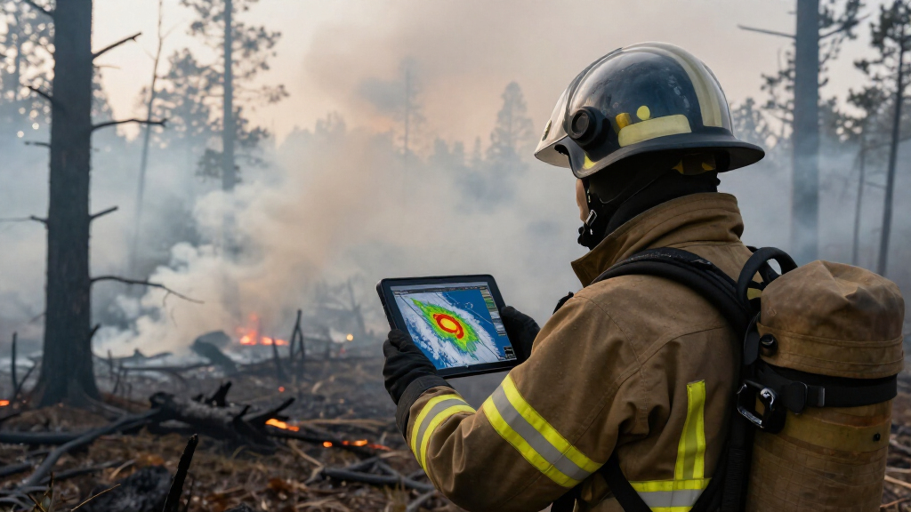
French firefighters observed a pyrocumulonimbus cloud for the first time during forest fire suppression efforts. This rare phenomenon indicates intensifying fire behavior and climate impacts. The event highlights new challenges for firefighting and fire management.
French firefighters reported witnessing a pyrocumulonimbus cloud for the first time during ongoing forest fire suppression efforts in southern France. The formation of this intense, thunderstorm-like cloud has raised concerns about fire behavior and safety risks for emergency responders. The event underscores the increasing severity of wildfires linked to climate change and presents new challenges for firefighting operations.
According to local fire authorities, the pyrocumulonimbus, often called a “fire thunderstorm,” appeared amidst a series of large wildfires in the region. Firefighters on the ground observed the cloud forming rapidly, characterized by towering, dark plumes capable of producing lightning and strong winds. Experts from the French Meteorological Service confirmed that this is the first documented occurrence of such a cloud in the area, marking a significant development in regional fire behavior.
Pyrocumulonimbus clouds result from intense heat generated by large fires, causing the air to rise rapidly and form storm-like structures. These clouds can generate lightning, which may ignite new fires, and produce gusts of wind that complicate firefighting efforts. The event was observed on August 15, with fire crews reporting increased difficulty in controlling the existing wildfires due to the unpredictable weather phenomena.
Implications of Pyrocumulonimbus Formation for Fire Safety
The appearance of a pyrocumulonimbus cloud signifies an escalation in fire intensity, often associated with extreme wildfire behavior. For French firefighters, this introduces heightened safety risks, including lightning strikes and sudden wind shifts that can cause fires to spread rapidly. The phenomenon also indicates potential climate change impacts, as such intense fire-related storms are becoming more common in regions experiencing prolonged droughts and higher temperatures. This event raises questions about future fire management strategies and preparedness in the face of increasingly severe wildfires.
As an affiliate, we earn on qualifying purchases.
Increasing Wildfire Severity and Climate Links in France
France has experienced a series of intense wildfires in recent years, driven by hotter, drier conditions linked to climate change. Historically, pyrocumulonimbus clouds have been rare in the region, with most documented occurrences in Australia, North America, and Russia. The recent appearance of such a cloud in southern France marks a notable shift, aligning with global patterns of more extreme fire behavior. Experts have warned that climate-driven changes are likely to make such phenomena more frequent, complicating firefighting efforts and emergency response planning.
“This is the first time we’ve seen a pyrocumulonimbus form during a wildfire in France. It highlights how fire behavior is evolving and becoming more unpredictable.”
— Jean Dupont, French Fire Service Spokesperson
Uncertainties Surrounding Future Pyrocumulonimbus Events
It is still unclear how frequently pyrocumulonimbus clouds will form in France or other parts of Europe as climate conditions evolve. While this event indicates a potential trend towards more extreme fire phenomena, experts caution that further observations are needed to determine whether such clouds will become a common occurrence. The precise impact on wildfire dynamics and firefighting strategies remains under study, with ongoing research needed to understand the full implications.
Monitoring and Preparing for Future Extreme Fire Events
Authorities and scientists plan to closely monitor fire behavior and weather patterns to better predict and respond to pyrocumulonimbus formation. Fire agencies are reviewing safety protocols and deploying advanced weather forecasting tools to anticipate such phenomena. Further research into the climate-fire connection is expected, alongside efforts to improve firefighting techniques to address the increased risks posed by these storm-like clouds.
Key Questions
What is a pyrocumulonimbus cloud?
A pyrocumulonimbus cloud is a thunderstorm cloud that forms above intense wildfires, capable of producing lightning, strong winds, and additional fires.
Why is the formation of a pyrocumulonimbus significant?
Its formation indicates extreme fire behavior, increasing risks of fire spread and lightning-induced ignitions, complicating firefighting efforts.
Are such clouds common in France?
No, this is the first documented case of a pyrocumulonimbus in France, although such clouds are more common in regions like Australia and North America.
What causes a pyrocumulonimbus to form?
They form when intense heat from a large fire causes the air to rise rapidly, creating storm-like clouds that can generate lightning and winds.
Will this affect future wildfire management?
Yes, the event underscores the need for improved forecasting, safety protocols, and understanding of extreme fire phenomena as climate change progresses.
Source: hn
Fall Picks
fall essentials
As an affiliate, we earn on qualifying purchases.